


R.E.News- future Technology-Esri Charting the Future with ArcGIS Maritime for Hydrographic Intelligence
 28/10/25-FR-English-NL-footer
Esri trace la voie du futur avec ArcGIS Maritime — l’intelligence hydrographique à l’ère du S-100
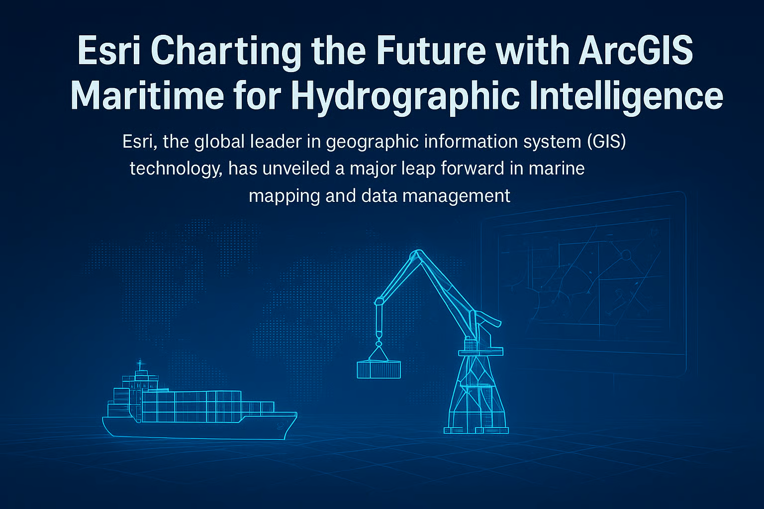 Image-R.E.News©
Esri, leader mondial des technologies SIG (Systèmes d’Information Géographique), révolutionne la cartographie marine avec les nouvelles capacités de son logiciel ArcGIS Maritime.
Désormais compatible avec les standards S-100 de l’Organisation hydrographique internationale, il permet la production simultanée de cartes S-57 et S-101, marquant une étape décisive dans la modernisation des données maritimes.
Cette évolution prépare la transition vers un océan numérique : des cartes dynamiques, connectées et riches en données, offrant une vision en temps réel des fonds marins, des marées et du trafic maritime. L’objectif ? Plus de sécurité, d’efficacité et de durabilité dans la navigation.
“Les offices hydrographiques ne se contentent plus d’assurer la sécurité en mer. Ils soutiennent désormais le développement durable et l’économie bleue,” explique Geoff Dean, directeur du développement chez Esri.
“Grâce au cadre S-100 et à la puissance du SIG, ils peuvent automatiser, partager et exploiter leurs données à une échelle inédite.”
L’intégration du S-100 transforme la cartographie nautique en véritable intelligence géospatiale. Les données marines peuvent désormais être fusionnées avec des informations terrestres, atmosphériques ou environnementales, favorisant la coopération inter-agences et une gestion globale des océans.
Pour Rafael Ponce, consultant principal chez Esri, cette transition symbolise une rupture :
“L’hydrographie quitte son rôle de simple productrice de cartes pour devenir un pilier central de la connaissance océanique.”
Avec l’automatisation et l’analyse en temps réel, ArcGIS Maritime réduit les délais de mise à jour, améliore la précision et soutient les objectifs de développement durable liés au climat, à la biodiversité et à la résilience côtière.
Présenté à la conférence Hydro 2025 à Liverpool, ArcGIS Maritime illustre la vision d’Esri : un monde où l’innovation géospatiale guide les océans vers un avenir plus sûr, plus intelligent et plus durable.
NJC.© Info ArcGIS Maritime
---------------------------------------------------------------------------------------------------------------
28/10/25-English
Esri Charts the Course for the Future with ArcGIS Maritime—Hydrographic Intelligence in the S-100 Era
Image-R.E.News©
Esri, a global leader in GIS (Geographic Information System) technology, is revolutionizing marine mapping with the new capabilities of its ArcGIS Maritime software.
Now compatible with the International Hydrographic Organization's S-100 standards, it enables the simultaneous production of S-57 and S-101 charts, marking a decisive step in the modernization of maritime data.
This evolution prepares the way for a digital ocean: dynamic, connected, and data-rich charts, offering a real-time view of the seabed, tides, and maritime traffic. The objective? Greater safety, efficiency, and sustainability in navigation.
“Hydrographic offices are no longer simply ensuring safety at sea. They now support sustainable development and the blue economy,” explains Geoff Dean, Director of Development at Esri.
“Thanks to the S-100 framework and the power of GIS, they can automate, share, and leverage their data on an unprecedented scale.”
The integration of S-100 transforms nautical charting into true geospatial intelligence. Marine data can now be merged with terrestrial, atmospheric, or environmental information, fostering inter-agency cooperation and comprehensive ocean management.
For Rafael Ponce, Principal Consultant at Esri, this transition symbolizes a paradigm shift:
“Hydrography is moving beyond its role as a simple producer of charts to become a central pillar of ocean knowledge.”
With automation and real-time analysis, ArcGIS Maritime reduces update times, improves accuracy, and supports sustainable development goals related to climate, biodiversity, and coastal resilience.
Presented at the Hydro 2025 conference in Liverpool, ArcGIS Maritime illustrates Esri's vision: a world where geospatial innovation guides the oceans toward a safer, smarter, and more sustainable future.
NJC.© Info ArcGIS Maritime
---------------------------------------------------------------------------------------------------------------
28/10/25-NL
Esri brengt de toekomst in kaart met ArcGIS Maritime: hydrografische intelligentie in het S-100-tijdperk
Image-R.E.News©
Esri, wereldwijd leider in GIS-technologieën (Geografische Informatie Systemen), revolutioneert maritieme kartering met de nieuwe mogelijkheden van zijn ArcGIS Maritime-software.
Nu compatibel met de S-100-standaarden van de Internationale Hydrografische Organisatie (IHO) maakt het de gelijktijdige productie van S-57- en S-101-kaarten mogelijk, wat een beslissende stap is in de modernisering van maritieme data.
Deze evolutie maakt de weg vrij voor de transitie naar een digitale oceaan: dynamische, verbonden en datarijke kaarten die een realtime beeld bieden van de zeebodem, getijden en maritiem verkeer. Het doel? Meer veiligheid, efficiëntie en duurzaamheid in de navigatie.
"Hydrografische kantoren nemen geen genoegen meer met het garanderen van veiligheid op zee. Ze ondersteunen nu duurzame ontwikkeling en de blauwe economie", legt Geoff Dean, Director Business Development bij Esri, uit. Dankzij het S-100-framework en de kracht van GIS kunnen ze hun data op ongekende schaal automatiseren, delen en benutten.
De integratie van S-100 transformeert nautische kaarten in ware geospatiale intelligentie. Mariene data kan nu worden gecombineerd met terrestrische, atmosferische en milieu-informatie, wat de samenwerking tussen verschillende instanties en alomvattend oceaanbeheer bevordert.
Voor Rafael Ponce, Senior Consultant bij Esri, is deze transitie een doorbraak:
"Hydrografie evolueert van een simpele kaartproducent naar een centrale pijler van oceaankennis."
Met automatisering en realtime analyse verkort ArcGIS Maritime de updatetijden, verbetert de nauwkeurigheid en ondersteunt het duurzame ontwikkelingsdoelen met betrekking tot klimaat, biodiversiteit en kustveerkracht.
ArcGIS Maritime, gepresenteerd op de Hydro 2025-conferentie in Liverpool, illustreert Esri's visie: een wereld waarin geospatiale innovatie de oceanen naar een veiligere, slimmere en duurzamere toekomst leidt.
NJC. © Info ArcGIS Maritime
-----------------------------------------------------------------------------------------------------------------
Date de dernière mise à jour : 27/10/2025